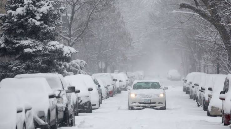
A major winter storm sweeping the US this week may bring the coldest Christmas in four decades to parts of the country, say forecasters.
The “once-in-a-generation” cold snap – which began in the Pacific Northwest on Tuesday, before churning east – will become a “bomb cyclone” by Friday.
More than 90 million people are under winter weather alerts across 37 states.
About 80% of the nation is set to experience sub-zero temperatures, including places as far south as Texas.
Named Winter Storm Elliot by the Weather Channel, the arctic blast is expected to deliver the coldest Christmas to the Midwest since the late 1980s, according to forecasts cited by US media.
Even Florida, the Sunshine State, is projected to see its coldest Christmas in 30 years.
The National Weather Service (NWS) said bone-chilling temperatures of -50F (-45C) and -70F were possible by the end of this week in some parts of the country.
“Wind chills of this magnitude can cause frostbite in less than five minutes if precautions are not taken, with hypothermia and death also possible from prolonged exposure to the cold,” said its advisory.
The NWS has called it a once-in-a-generation winter weather event, especially as the storm reaches the Great Lakes region, where its pressure is expected to reach the equivalent of a Category 3 hurricane.
The governors of Kentucky and North Carolina have declared states of emergency.
Snowy conditions and freezing roadways are expected to wreak travel chaos this weekend.
“We had a great Thanksgiving week with minimal disruption,” US Transportation Secretary Pete Buttigieg told cable channel MSNBC on Wednesday.
“Unfortunately, it’s not going to be that way going into Christmas.”
Hundreds of flights from Denver and Chicago have already been cancelled.
Denver is forecast to face the brunt of the cold snap on Thursday morning as temperatures plummet to -16F.
The Denver Coliseum, an indoor arena, is being converted into a warming centre.
Chicago has been warned to prepare for heavy snowfall starting on Thursday whipped around by gusts topping 50mph (80km/h).
As the storm develops, meteorologists anticipate it will turn into a “bomb cyclone”.
What is a bomb cyclone?
Bomb cyclone is a term given to a storm that intensifies rapidly, with its central air pressure dropping to at least 24 millibars in 24 hours.
They are referred to as bomb cyclones due to the explosive power caused by the rapid fall in pressure.
Such storms bring weather ranging from blizzards to severe thunderstorms to heavy precipitation.
Bomb cyclones are most common on the east coast of the US and Canada, where the cool land and warm Gulf Stream current provide optimal conditions.
Source: BBC News


